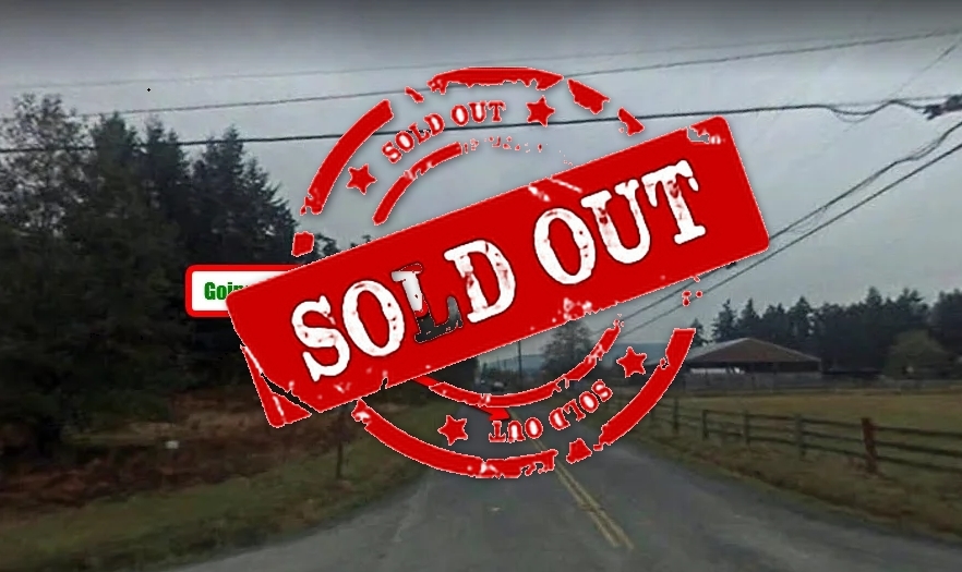
SOLD – Explore the Gift of Nature in Shasta County, CA!
Shasta County / CALIFORNIA
$ 15,999
Property detail
Property overview
- Price
- $ 15,999
- ID
- 094-510-029-000
- Type
- Cash Sale
- Contract
- Sold
- Location
- Shasta County / CALIFORNIA
- Area
- 5 acres
Description
[wpgmza id=”433″]
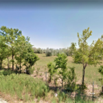
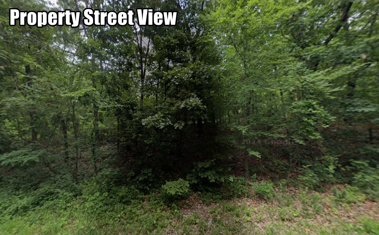
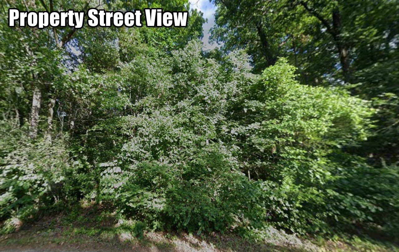
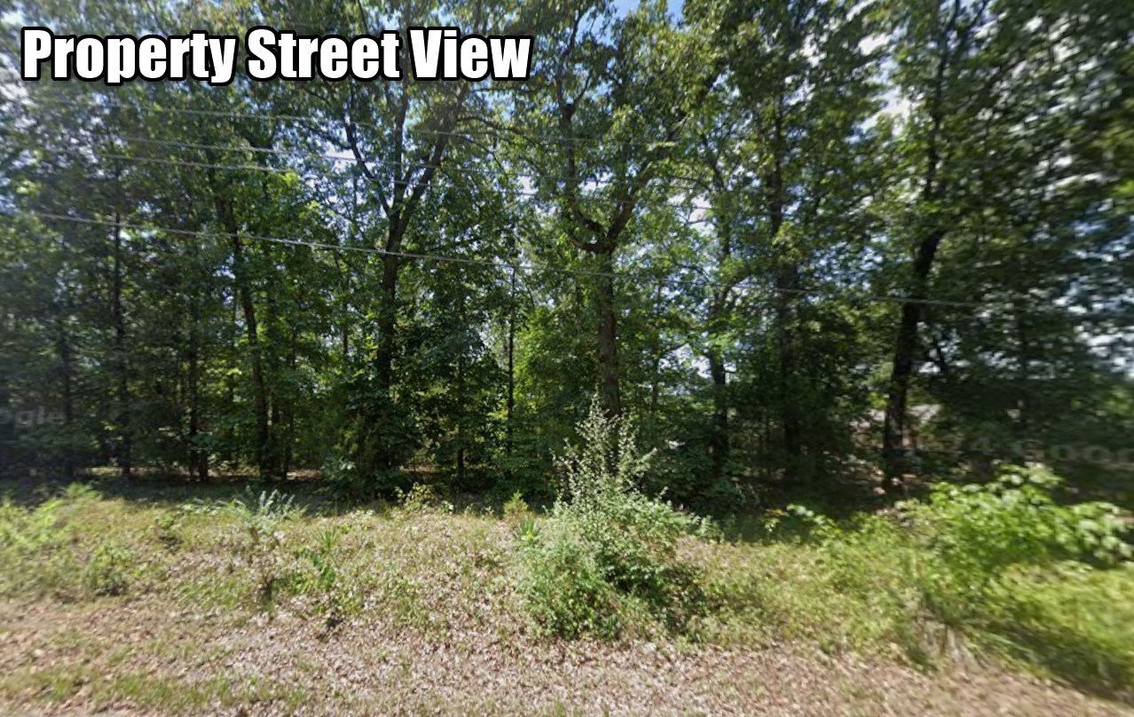
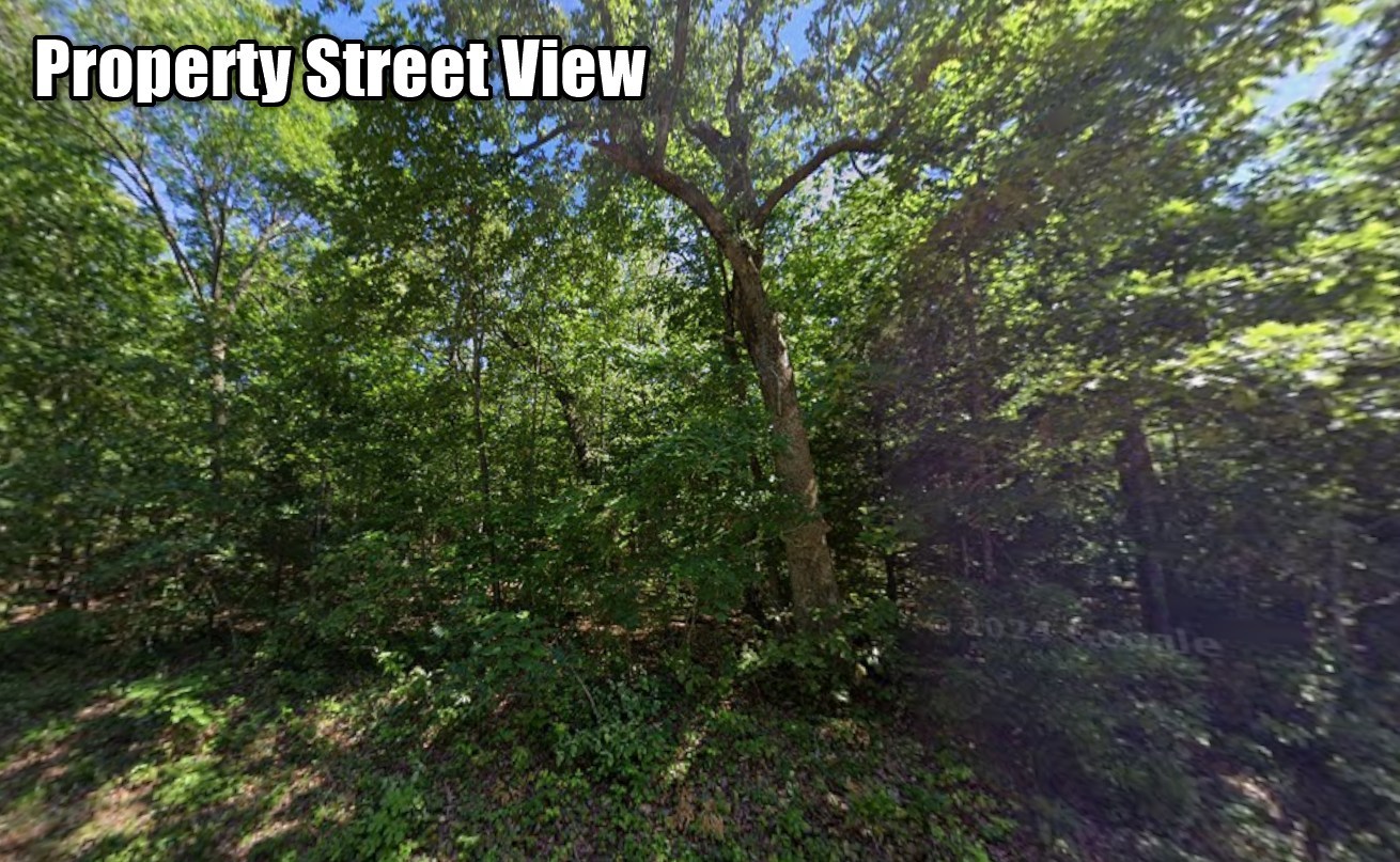
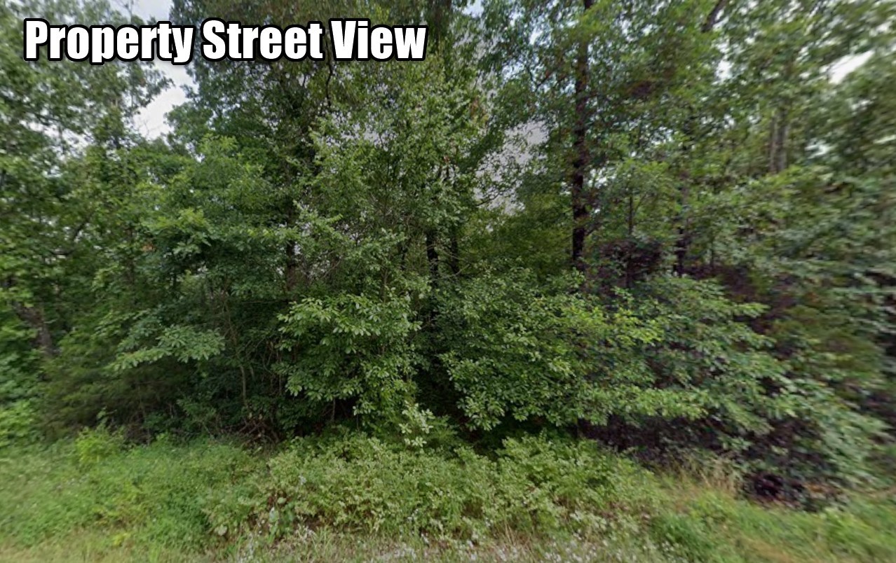
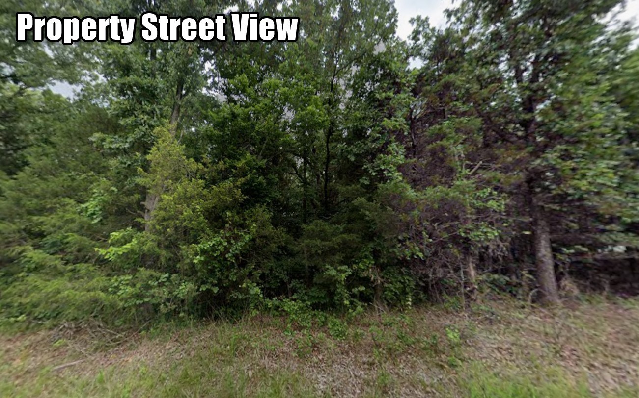
Explore the gift of nature with 5 acres of land here in Shasta County. Enjoy this beautiful property with agricultural zoning and easy access to paved roads. Indulging oneself in an outdoor activity will help you strengthen your physical health as well as you will be able to bond with your family within the premises of your property. There are a lot of outdoor activities that can be done such as camping, biking, picnic and much more. No neighbors, No HOA, do what you want here without anyone to tell you what to do or not to do.
In case of emergencies, there’s the nearby Shasta Community Health Center within a 34-minute drive from the property. In about 11 minutes or 4.3 miles, you will be able to reach the Shingletown. When it comes to your child’s education, there’s also a nearby school which is called the Pacheco School.
Be amazed by this property in California. Call and email us for inquiries.
Price: $15,999
Size: 5 Acres
APN: 094-510-029-000
State: California
County: Shasta
Legal Description:
THE LAND REFERRED TO HEREIN BELOW IS SITUATED IN THE UNINCORPORATED AREA, COUNTY OF SHASTA, STATE OF CALIFORNIA, AND IS DESCRIBED AS FOLLOWS:
PARCEL 1:
ADJUSTED PARCEL D, PURSUANT TO PROPERTY LINE ADJUSTMENT NO. 03-060: COMBINING all that certain real property described in the Deed to Robert W. Hockey and Cynthia N. Hockey, husband and wife as Joint Tenants dated August 16, 2001 and recorded September 11, 2001 as Recorders Instrument No. 2001-0039919, Shasta County Records more particularly described as the West 1/2 of the Southwest 1/4 of the Southeast 1/4 of the Southeast 1/4 of Section 35, Township 31 North, Range 1 West, M.D.B.&M., and that portion of that certain real property described in the Deed to Robert W. Hockey and Cynthia N. Hockey, husband and wife as Joint Tenants dated May 25, 2001 and recorded June 5, 2001 as Recorder’s Instrument No. 2001-0021958, Shasta County Records, more particularly described as Lots 2, 3, 4, 5, 6, 7 and that portion of Lots 1 and 8 of the Section 2, Township 30 North, Range 1 West, M.D.M., lying Northerly and Westerly of the following described line:
COMMENCING at the Section corner common to Sections 1 and 2, Township 30 North Range 1 West and Sections 35 and 36, Township 31 North Range 1 West, MDM as shown on that certain Record of Survey filed for record May 28, 1981 in Book 45 of Land Surveys at page 31, Shasta County Records; thence along the North line of said Section 2, to the Southeast comer of the West 1/2 of the Southwest 1/4 of the Southeast 1/4 of the Southeast 1/4 of said Section 35, said point being the True Point of Beginning; thence leaving the North line of said Section 2, South 0191824″ West a distance of 2046.07 feet more or less to a point on the North line of Lot 9, Section 2, Township 30. North, Range 1 West, M.D.M.; thence along said North line of Lot 9, North 85°17’43” West a distance of 327.85 feet more or less to the point of termination at the Northwest comer of said Lot 9.
Reserving therefrom a non-exclusive easement for road purposes along that certain existing road lying within the land above described.
Said easement so reserved is to be appurtenant to and for the benefit of Adjusted Parcels B & C of that Property Line Adjustment No. 03-060, recorded February 4, 2004, as Instrument No. 2004-0006849, of Official Records.
PARCEL 2:
A Non-exclusive easement for road purposes along that certain existing road lying within Adjusted parcels A, B and Cof that Property Line Adjustment No. 03-060 recorded February 4, 2004, as Instrument No. 2004-0006849 of Official Records.
PARCEL 3:
Easements 60.00 feet in width for road and utility purposes over, under and across the following Strips of land more particularly lying within Lots 2,3,4,5,6,7, 11, and 12 of Section 1, Township 30 North, Range 1 West, MDM according to the official plat thereof, and the Northwest one-quarter of the Southwest one-quarter of Said Section 1.
EASEMENT 3A:
BEGINNING at a point of intersection of an existing logging road with the Centerline of Shingletown Ridge Road, County Road # 2L002 at the approximate intersection of the Easterly boundary of said Lot 6, and lying within the Northeast quarter of Said
Section 1; thence leaving said Shingletown Ridge Road, in a Southwesterly direction following along these approximate Courses and distances:
Exhibit Page – Legal(exhibit)(8-02)
North 59°59′ West a distance of 78 feet; thence
South 84°32′ West a distance of 126 feet; thence
South 64°56′ West a distance of 312 feet; thence
South 74°15′ West a distance of 339 feet; thence
South 67°18′ West a distance of 390 feet; thence
South 68°13′ West a distance of 315 feet; thence
South 63°27′ West a distance of 299 feet; thence
South 40°33′ West a distance of 65 feet; thence
South 22°02′ West a distance of 424 feet; thence
10. South 18°27′ West a distance of 264 feet; thence
11, South 19°49′ West a distance of 222 feet; thence
12. South 32°30′ West a distance of 218 feet; thence
13, South 54°29′ West a distance of 144 feet; thence
14, South 69°10′ West a distance of 188 feet; thence
15. South 80°32′ West a distance of 153 feet; thence
16, South 85°56′ West a distance of 113 feet to a point of intersection with a side road which runs in a Northwesterly direction said point hereinafter referred to as Point”A”; thence
17. continuing South 85°56′ West a distance of 243 feet to the point of termination on the Westerly line of said Section 1;
EASEMENT 3B;
BEGINNING at Point “A” hereinabove described; thence in a Northwesterly direction along these approximate courses and distances;
1. North 11°24′ West a distance of 571 feet; thence 2. North O5°47′ East a distance of 580 feet; thence 3. North 21°48′ West a distance of 413 feet to the point of termination on the Westerly line of said Section 1
The sidelines of said easements are to be lengthened or shortened so as to begin on Shingletown Ridge Road and end on the Westerly line of said Section 1;
THE FINAL ROUTE OF THE ABOVE INTENDED EASEMENTS SHALL BE DETERMINED BY CONSTRUCTION AND SUBSEQUENT SURVEY OF SAID ROAD AND UTILITY IMPROVEMENTS,
GPS: 40.491994, -121.940308
GPS Coordinates:
40.4910825153238,-121.939756262069
;40.4928909489145,-121.939712978607
;40.4928945429133,-121.940869581702
;40.49109940845,-121.94089755389
;40.4910825153238,-121.939756262069
General Elevation: 2,613 ft.
Zoning: Agricultural
Power: Alternative System
Water: Drill a well, water catchment, water delivery
Sewer: Alternative System
Roads: Paved
Property Tax: $117.58
Time Limit to Build: None
Closing/Doc Fee: $249
Title: Grant Deed To You From David Adventure LLC
About the Seller: I am Luke Smith. I review thousands of properties for everyone that I buy in order to bring you the best deal possible. The pricing I get them at is reflected in the pricing of what I am selling them for. They are priced at half the current market price or less to sell (and not be listed for years). Because of their price they don’t usually stay for sale for very long. The first one to go to pay for it gets it. There is a checkout button on my site. If you would like to pay another way please let me know and I will help set it up.
If you are interested in one of my properties please Google your questions and or check out the FAQ section on my website. I have never been to this property. Everything I know about the property is on my website.
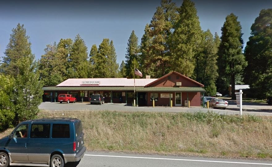
United States Postal Service
United States Postal Service is located at 31268 State Highway 44, Ste B, Shingletown, CA 96088, United States and just 12 minutes drive from the area.
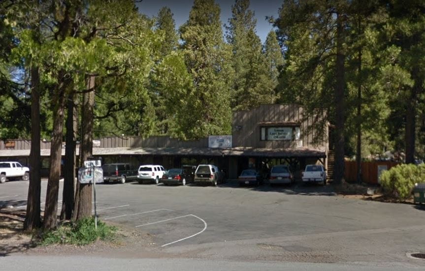
Pioneer Hillside Pizza
Pioneer Hillside Pizza is located at 31232 CA-44 #4, Shingletown, CA 96088, USA and just 11 minutes drive from the area.
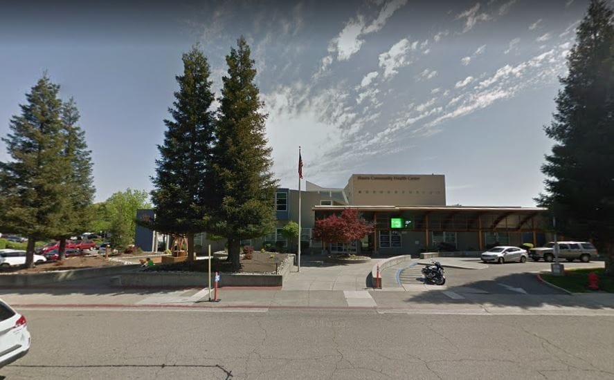
Shasta Community Health Center
Shasta Community Health Center is located at 1035 Placer St, Redding, CA 96001, USA and just 34 minutes drive from the area.
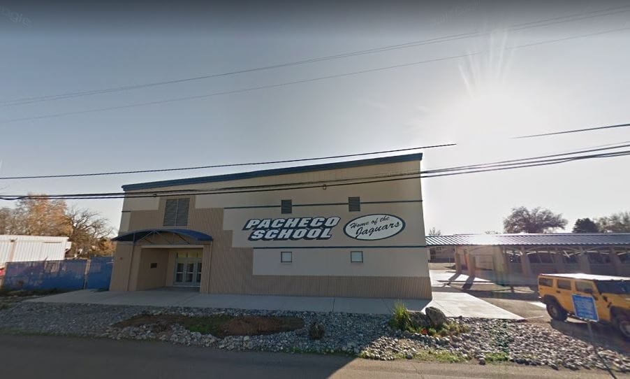
Pacheco School
Pacheco School is located at 7430 Pacheco School Rd, Redding, CA 96002, USA and just 37 minutes drive from the area.
Position
Assigned agent

Luke Smith
Encinitas CA, 92024
- 760-392-1525
- Luke@RuralVacantLand.com
- http://ruralvacantland.com
Contact Form
Similar properties

SOLD – ☆VACANT LAND 1 BLOCK FROM SCHOOL☆
$ 750 CASH DISCOUNT OR $50 DOWN & $50 A MONTH FOR 18 MONTHS ☆NO CREDIT CHECKS☆

Owner
Featured Properties